Goose necks State Park, Utah and Mexsican Hat
by Chih Kwan Chen, Nov. 5, 2009
Goosenecks State Park, Utah is located along Utah Route 261. We traveled down US-163 toward Monument
Valley and turned into Route 261 North shortly before the town of Mexican Hat. The state park lies at
the left-hand side of the road within a very short distance from the junction of Rout 261 and US-163. Three
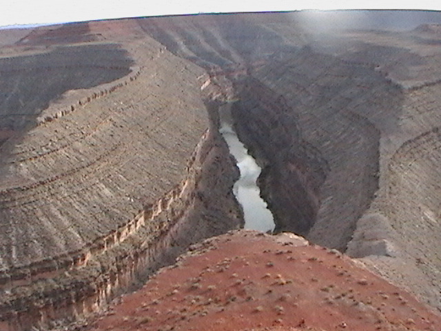
side by side giant goosenecks carved out by San Juan River are certainly a breath taking view. The middle
gooseneck is pointing at opposite direction from the first and the third goosenecks. From the parking lot
we only see the frontal views of the first and the third goosenecks and the back side of the second. The third one lies toward
the sun in afternoon so that its picture could not be taken. Mexican Hat is a rock shaped like a mexican hat.
It is located along US-193 between the intersection with Route 261 and the town of Mexican Hat. The rock is
easily visible from US-193. A dirt road brings one to a close-up view of the rock. Sorrounding the rock, there
is a narrower, sandy and bumpy looking road that we did not try to go in. It is free to view Goosenecks and Mexican Hat.
 A gooseneck carvved out by San Juan River.
|
 The other side of the gooseneck. At the right portion of the picture, the back side of another
gooseneck that points away from the picture is visible.
The other side of the gooseneck. At the right portion of the picture, the back side of another
gooseneck that points away from the picture is visible.
|
 A raven flying above the goosenecks
|
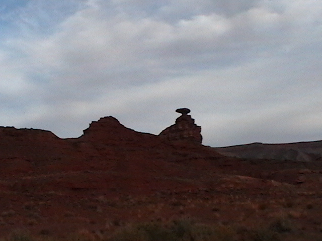 Mexcan Hat viewed along US-193
|
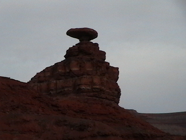 A close-up view of Mexcan Hat
|